Introducing WinProfile Sharp
Software für Hydrographic Surveys, Dredging and Wrack Detection on Windows-PC or Notebook
Win-Profile-Sharp
WinProfile Sharp has been developed from the previous WinProfile R. It is designed for the hydrographic survey of sea-depth, coastlines, deltas, rivers, and all kinds of standing and flowing water.
Since the inauguration of the software in 2006, it has been continuously developed and adapted to meet the digital transformation and changing hardware needs for organizations of all kinds.
WinProfileSharp embraces the following functions:
Survey Planing (Creation of way-point-files)
Display of DXF/DWG data, electronical seamaps (ECDIS) and Satelite Images in Geo-TIFF/JPEG format.
Data acquisition on the vessel. Position, Depth, Alt, Heeling/Pitch/Yaw, Side-Scan-Sonar, DeltaT Multibeam).
Digitizing of coastlines, depthlines, borders an other features.
Postprocessing for manual and automatic data cleansing, reduction and correction.
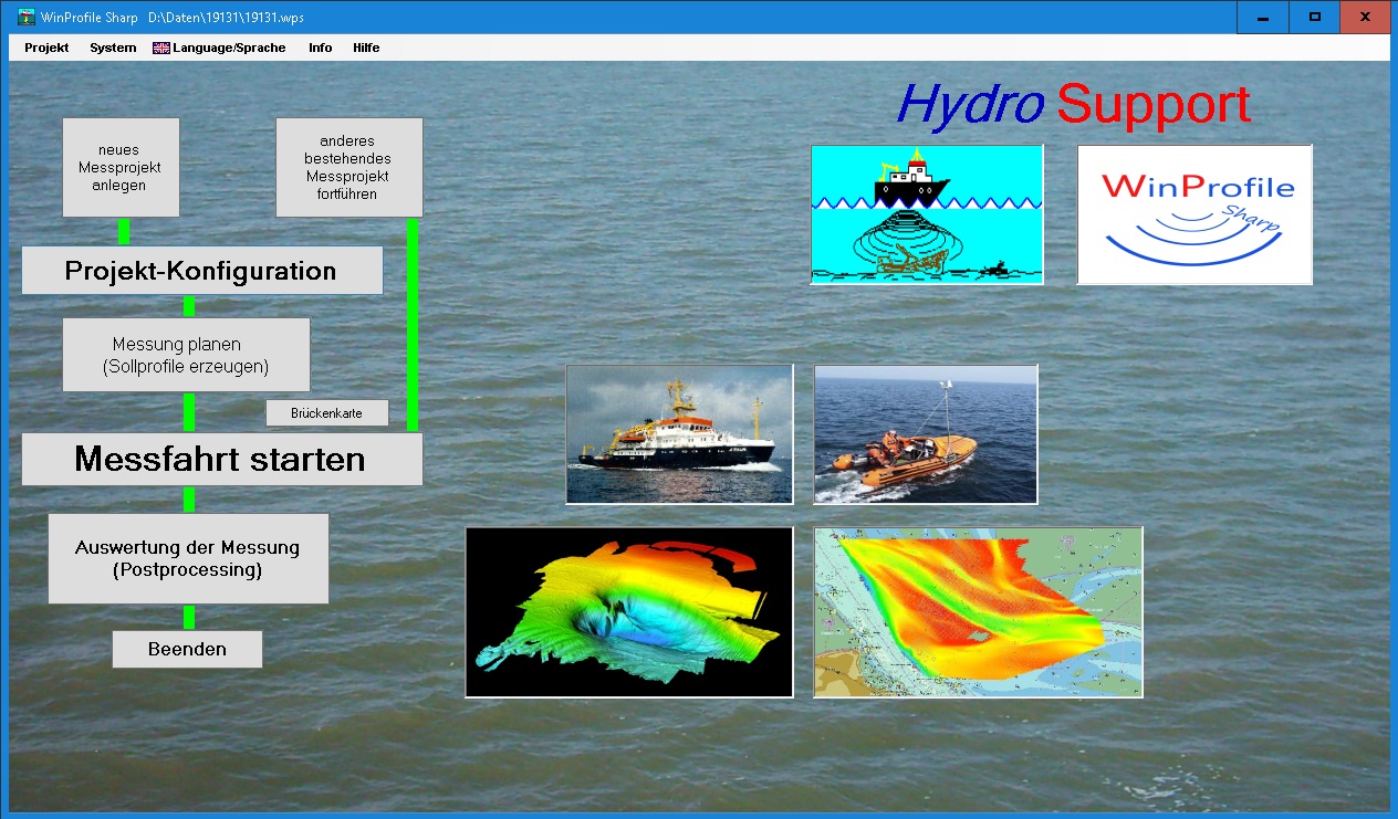
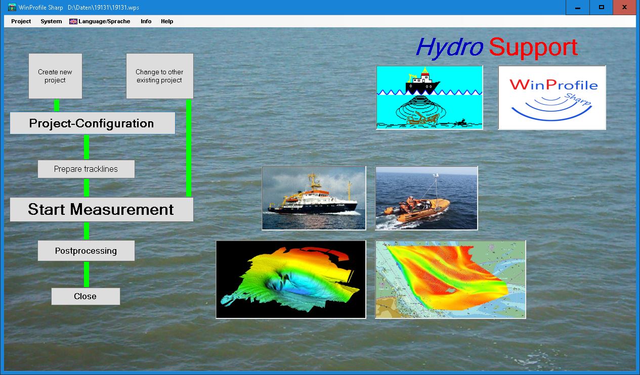
Main Menu